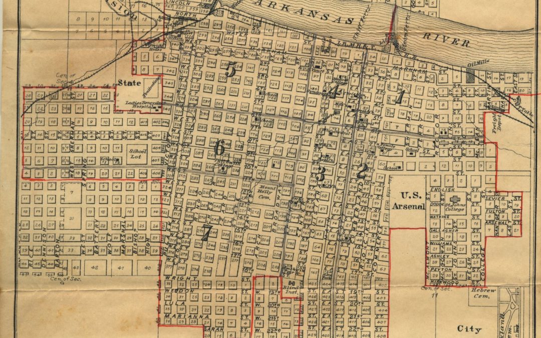
From the beautiful to the banal, modest to elaborate, maps have provided Arkansans with a vehicle for understanding more than just the lay of the land. An exhibit at University Libraries titled Mapping the Natural State: Arkansans Making and Using Maps features maps of Arkansas, as well as maps drawn by Arkansans. These varied examples of cartography, from before Arkansas statehood until late in the 20th century, served different purposes for the diverse individuals who drew or owned them. In some cases, the significance to the maker or owner is clear; in others, the meaning has become obfuscated over time. The maps featured in this exhibit have provided a method to plan and anticipate a future business venture, documentation for the context of a multitude of flora, a means of communicating the landscapes of past experiences, a record of real estate transaction, or other services, known and perhaps unknown, that future researchers may reveal.
In each case, the map, whether scribbled on the back of a cardboard notebook cover or arduously measured and recorded in ink on parchment, provides clues to the life of the individual who deemed it worthy of preserving. Explore the assembled represented terrains and discover the Arkansans who have allowed us these unique perspectives on the past.
“Exhibitions are a great entry point to our collections,” said Lori Birrell, head of Special Collections. “It’s our hope that after viewing the maps on display, researchers will use these resources to develop new modes of inquiry and scholarship.”
Included in the exhibit is a map drawn by Neil Compton of the land where Crystal Bridges Museum now sits. Maps created by Ken Smith, whose photography was recently on display at Mullins Library, are also included. Maps from the James W. Trimble Family Papers reveal how the congressman’s wife, Ruth Maples Trimble, took charge of the family farm while he fulfilled his civic duties.
The exhibit will be on display in the Helen Robson Walton Reading Room in Mullins Library until Sept. 7.